ADVISOR: Autonomous Surface Ship for Guidance
EU ITEA Program — Escort-type Autonomous Surface Vehicle
Overview
ADVISOR is an escort-type Autonomous Surface Vehicle (ASV) developed under the EU ITEA program, focusing on autonomous guidance and cooperative navigation in constrained maritime environments including harbors and near-shore areas. The project emphasizes supervised autonomy — where human oversight coexists with automated decision-making — to enable safe, reliable operation in dynamic and cluttered waterways. Field validation is a central component of the program.
Field Trial Setup
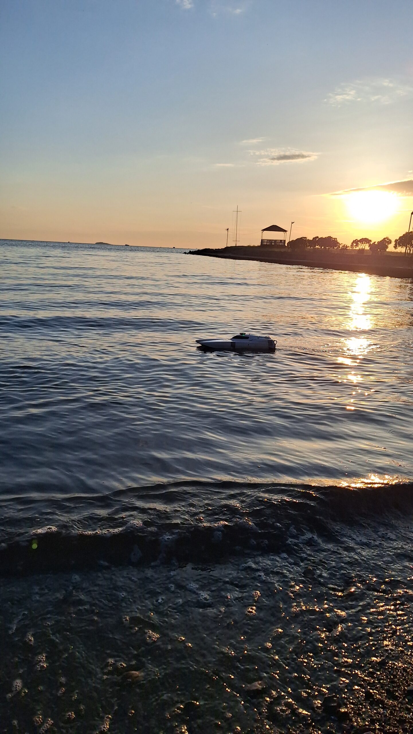
Field trials are conducted in representative maritime environments to validate navigation algorithms, sensor fusion performance, and autonomous decision-making under real operational conditions. The ASV undergoes structured test scenarios including convoy operations, obstacle avoidance, and return-to-base maneuvers.
Navigation in Dynamic Environments
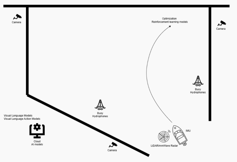
The ADVISOR platform integrates a comprehensive multi-modal sensor suite to achieve robust situational awareness in complex, dynamic maritime environments. Sensor data is fused in real time to support obstacle detection, path planning, and adaptive navigation.
Bathymetry Mapping & Environmental Data Collection
In addition to navigation, ADVISOR collects environmental and oceanographic data during operations. Onboard meteorological sensors continuously monitor wind speed, wind direction, air temperature, and atmospheric pressure — providing contextual data that informs route planning and maneuverability analysis.
Bathymetric mapping capabilities support harbor surveying and shallow-water navigation, contributing to a richer environmental model that enhances the ASV's autonomous decision-making.